- Earthquake -
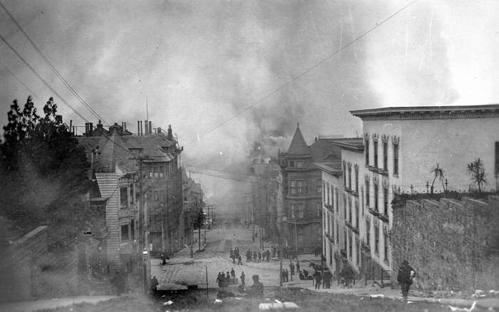
Photo id: 251569 - San Francisco, California, Earthquake April 18, 1906. View of...San Francisco, California, Earthquake April 18, 1906. View of Down Jones from Nob Hill in San Francisco. 10 am, April 19, 1906. - ID. Marshall, R.B. 19 - mrb00019 - U.S. Geological Survey - Public domain imageDimensioni del file: 41200 bytes Foto visualizzata 659 volte
|
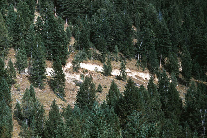
Photo id: 255678 - Hebgen Lake, Montana, Earthquake August 1959. Hebgen Lake fau...Hebgen Lake, Montana, Earthquake August 1959. Hebgen Lake fault scarp. August 1959. - ID. Stacy, J.R. 28ct - sjr00028 - U.S. Geological Survey - Public domain imageDimensioni del file: 87526 bytes Foto visualizzata 304 volte
|
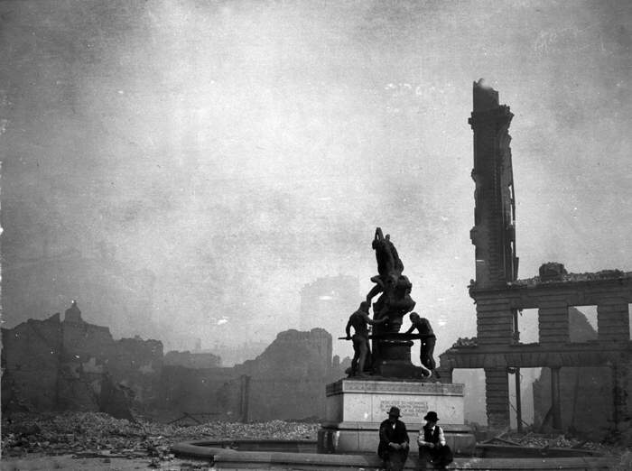
Photo id: 251661 - San Francisco, California, Earthquake April 18, 1906. Donahue...San Francisco, California, Earthquake April 18, 1906. Donahue Monument, corner Bush and Battery Streets. April 20, 1906. - ID. Mendenhall, W.C. 696 - mwc00696 - U.S. Geological Survey - Public domain imageDimensioni del file: 42563 bytes Foto visualizzata 169 volte
|
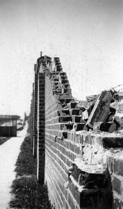
Photo id: 251677 - Long Beach, California, Earthquake March 10, 1933. Damage to ...Long Beach, California, Earthquake March 10, 1933. Damage to wall around High School Playground. Photo from Mr. Merritt. - ID. Merritt, 1 - mer00001 - U.S. Geological Survey - Public domain imageDimensioni del file: 41435 bytes Foto visualizzata 224 volte
|
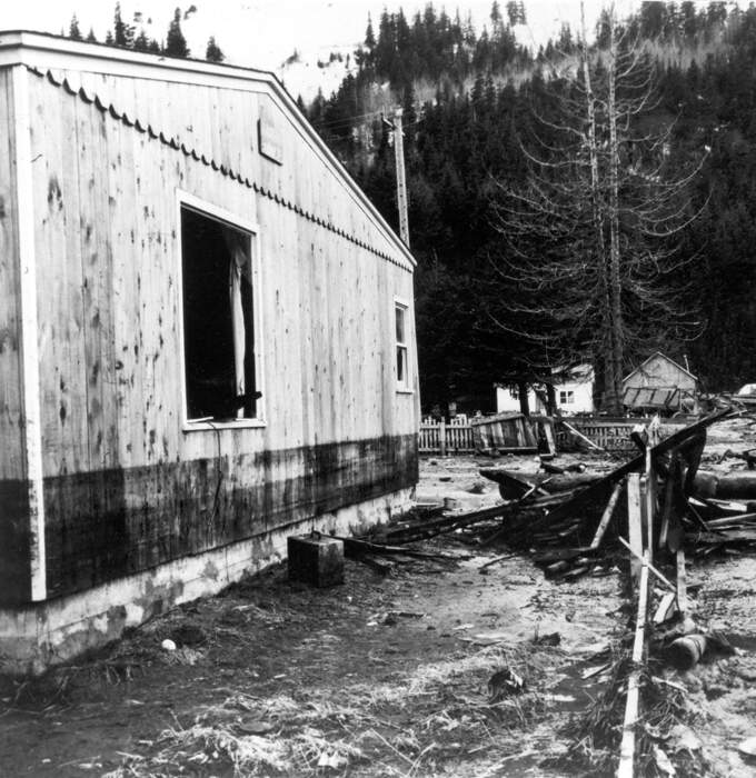
Photo id: 250342 - Alaska Earthquake March 27, 1964. Dark strip on the house sho...Alaska Earthquake March 27, 1964. Dark strip on the house shows maximum height reached by waves in Seward, south of the lagoon area. Photo by U.S. Army, 1964. - ID. Alaska Earthquake no. 349 - ake00349 - U.S. Geological Survey - Public domain imageDimensioni del file: 98979 bytes Foto visualizzata 172 volte
|
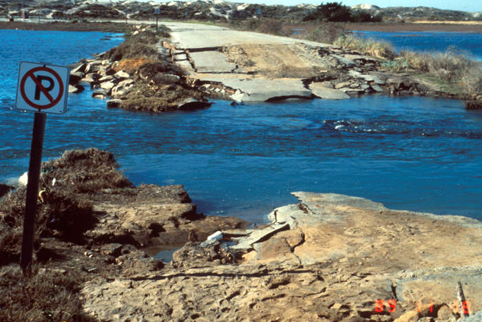
Photo id: 255806 - Loma Prieta, California, Earthquake October 17, 1989. Moss La...Loma Prieta, California, Earthquake October 17, 1989. Moss Landing. Liquefaction and subsequent strong tidal action destroyed the causeway carrying the Moss Beach access road across the tidewater basin. Slide XV-1, U.S. Geological Survey Open-File Report 90-547. - ID. Tinsley, J.C. 8ct - tjc00008 - U.S. Geological Survey - Public domain imageDimensioni del file: 86861 bytes Foto visualizzata 412 volte
|
20 21 22 23 24 25 26 27 28 29 30 31 32 33 34
Immagini trovate: 693
AVG: 331.321 (1137)

